Blog
Fresh insights, stories, and expertise shared.

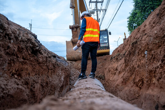
This article explains how construction surveying services support accurate earthworks by providing control, verifying elevations, and guiding excavation, helping reduce rework, improve efficiency, and keep projects aligned with design.

In this article, we explore how civil engineering surveying ensures accuracy, alignment, and compliance in road construction, supporting efficient workflows, reducing rework, and helping infrastructure projects meet design standards from start to finish.
In this article, the differences between private and public utility locates are explained, highlighting why both are necessary to reduce strike risk, ensure compliance, and protect commercial projects from delays and liability.
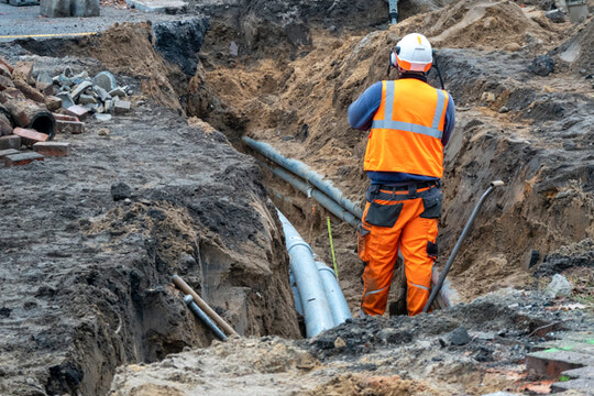
In this article, professional underground and private utility locating services are explained as key to preventing costly utility strikes, improving safety, ensuring compliance, and protecting project schedules.

In this article, we explain the difference between QA and QC in construction and surveying, showing how assurance prevents errors, control verifies results, and both protect data accuracy from design to as-built delivery.

In this article, we explain QA/QC in construction surveying, clarifying assurance vs control, and how structured checks, documentation, and verification ensure accuracy and compliance on projects.

In this article, GIS is shown to unify UAV, LiDAR, and BIM data into a single platform. This central hub improves site management, utility tracking, and decision-making for complex construction projects.

In this article, GIS is defined as a platform that integrates UAV mapping, LiDAR, and surveys to create layered data for precise infrastructure planning, asset tracking, and long-term management.

In this article, CAD drafting is presented as the digital backbone of construction, unifying architectural and structural data into a shared environment to improve accuracy, collaboration, and clash detection.

In this article, CAD drafting is defined as the process of converting field measurements from UAVs and surveys into precise, data-rich digital models to ensure construction matches design intent.

In this article, UAV mapping is defined as a high-speed data collection method using drones and LiDAR. It integrates with ground surveys to provide precise 3D models and volume calculations for sites.
In this article, 3D laser scanning is explained as a LiDAR-based process that captures millions of data points to create precise "point clouds" for as-built documentation, clash detection, and design.

In this article, construction site surveys are explained as the vital first step that transforms design intent into field-ready data using UAVs, GNSS, and 3D scanning to ensure millimeter-level accuracy.

In this article, property pin recovery is explained as a technical process using total stations and GPS to validate boundaries, preventing costly legal disputes, rework, and setback violations.

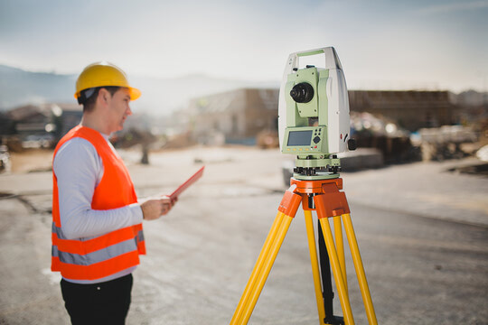
In this article, we explain what surveying in construction is and why it's essential. Learn how site surveys connect design to execution, ensure accuracy, and use advanced tools like UAV mapping and 3D scanning to keep projects on time and compliant.

In this article, we explain what land surveying in construction is and why it's essential. From boundaries to UAV mapping and 3D scanning, surveyors deliver precision, compliance, and real-time data that keep projects accurate, efficient, and on schedule.